Often named as one of the most scenic airports in America, the airport sits on a mesa high above the town. There’s a trail that circles the mesa and – more important for me – I can walk to it.
According to my iPhone app, the hike is 7.22 miles with 1788 feet of vertical climbing. The highest point of the trail is only 500 feet higher than my house, but there’s lots of up and down on the trail.
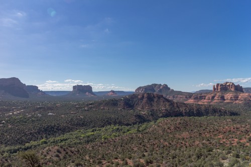
While it isn’t my favorite hike, it is convenient and the 360° views are fabulous. Here’s looking south and seeing, from left to right, one of the twin buttes, Courthouse Rock, Bell Rock, Castle Rock and Cathedral Rock.


Recent Comments